426 West Lake Drive
|
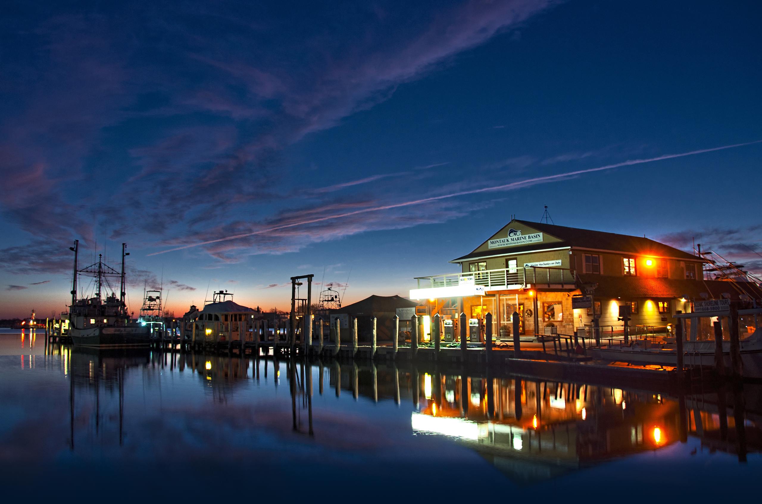
Montauk, NY 11954
|
Phone: 631-668-5900
|
Fax: 631-668-5659
More
Yacht Sales
Tournaments
Boat Yard
Ship Store
Marina
Home
Directions To Montauk Marine Basin
By Boat
Navigate to Montauk Harbor Inlet
Latitude:
41* 4.798'N
Longitude:
71* 56.295'W
Proceed through the inlet and bare right (to the West) once through the entrance of harbor (stay West of US Coast Guard Station).
Continue going straight (West) until you reach our dock (approx. 200 Yds.)
By Car
From New York City:
Take the Long Island Expressway (495) East to Exit 70 - Manorville Road. Go South to the Sunrise Highway (Route 27) and then head East to Montauk (approximately 50 miles on Route 27).
From North New Jersey and Upstate New York:
Take the Throgs Neck Bridge onto the Clearview Expressway then to the Long Island Expressway and proceed as above.
From South New Jersey:
Take the Verrazano Bridge and the Belt Parkway to the Southern State Parkway. Go East on the Southern State to the Sunrise Highway, and proceed to Montauk.
By Ferry
From New London:
For car and passenger service, take the
Cross Sound Ferry
from New London to Orient Point; travel West on Route 25 to the Greenport Ferry to the Shelter Island Ferry. Proceed on Route 114 South to 27 East to Montauk. Please call: (860) 443-5281 or (631) 323-2525 for schedules and information.
In season, local passenger service is available from Block Island to Montauk daily at 10:00 am on the Viking Lines. Call: (631) 668-5700.
Viking Fleet
operates a Ferry service from New London CT to Montauk Harbor during summer months only arriving and departing on Fridays and Sundays only Call:(631) 668-5700
HOME PAGE
STORE HOURS
DOCKAGE FORM
CHARTER BOATS
YACHT SALES
ABOUT US
CONTACT US
FOLLOW US ON:
Be a fan on Facebook
+1 Us on Google+
Follow Us on Twitter
Watch our YouTube channel
Follow Us on Pinterest
LANGUAGES:
BOOK NOW
Copyright © 2014
Montauk
-Online.com. All rights reserved. Montauk Marine Basin Logo and all associated logos and designs are trademarks or registered trademarks of Montauk Marine Basin, Inc.
All other registered service marks, service marks, registered trademarks and trademarks are property of their respective owners.
Background Photo: © Atilla Ozturk
BOOK NOW
Marina Information
Marina Rates
Marina Map
Navigation
Contact Info
PHONE:
631-668-5900
EMAIL:
dockmaster@marinebasin.com
VHF:
Channel 19
Current Listings
Yacht World Page
Search For Surveyors
Bait Request Form
Bait Prices
Products
Hours & Location
Service Request Form
Services & Rates
Mail-In Winter Storage Contract
Maximize Your Boats Performance
TOURNAMENT WINNERS
52nd Annual Shark Tournament (there will be no live captains meeting, no dinner or award gatherings.)
Shark's Eye Tournament-Montauk Marine Basin 3rd Annual All-Release Satellite-Tag Tournament
Offshore Shoot Out at Montauk Marine
2nd Annual Doormat Derby Fluke Tournament
Track GPS Satellite Tagged Sharks
Charter Boats
About Us
Contact Us
Directions To Us
Forms & Applications
Still More...
Montauk Fishing Spots
Pictures
Links
Reviews
Captain's Page
Live Streaming VHF Radio